Difference between revisions of "Mary's River Mine"
Jump to navigation
Jump to search

| Line 8: | Line 8: | ||
*'''Parent Company:''' [[Peabody Energy]] | *'''Parent Company:''' [[Peabody Energy]] | ||
*'''Location:''' Randolph County, Illinois, United States | *'''Location:''' Randolph County, Illinois, United States | ||
| − | *'''GPS Coordinates:''' (approximate) | + | *'''GPS Coordinates:''' 38.029030, -89.666907 (approximate) |
*'''Status:''' Cancelled | *'''Status:''' Cancelled | ||
*'''Production Capacity:''' 1 million tons per year | *'''Production Capacity:''' 1 million tons per year | ||
Revision as of 00:07, 26 November 2019
| This article is part of the Global Coal Mine Tracker, a project of Global Energy Monitor and the Center for Media and Democracy. |
| Sub-articles: |
Mary's River Mine (also Marys River Mine) was a proposed U.S. surface coal mine in Randolph County, Illinois, by Peabody Energy's Peabody Midwest Mining.[1] As of November 2019, the project has not progressed in more than four years and appears to be cancelled.
Contents
Location
Project Details
- Sponsor: Peabody Midwest Mining
- Parent Company: Peabody Energy
- Location: Randolph County, Illinois, United States
- GPS Coordinates: 38.029030, -89.666907 (approximate)
- Status: Cancelled
- Production Capacity: 1 million tons per year
- Total Resource:
- Mineable Reserves:
- Coal type:
- Mine Size: 709 acres
- Mine Type:
- Start Year: 2011 (proposed)
- Source of Financing:
Articles and resources
Related SourceWatch articles
- Coal and jobs in the United States
- Coal phase-out
- Headquarters of U.S. coal mining companies
- Global list of coal mining companies and agencies
- Proposed coal mines
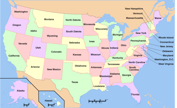
To see a listing of coal mines in a particular state, click on the map:

References
- ↑ Proposed Coal Mines in the United States SourceWatch, accessed November 2019.