Difference between revisions of "Jones Fork Complex"
Jump to navigation
Jump to search

Cshearer19 (talk | contribs) (SW: add section) |
Cshearer19 (talk | contribs) (maps) |
||
| (4 intermediate revisions by 2 users not shown) | |||
| Line 1: | Line 1: | ||
{{#Badges: CoalSwarm}}The '''Jones Fork Complex''' is an underground coal mining operation in eastern Kentucky owned by [[CONSOL Energy]].<ref>[http://www.consolenergy.com/Powering/MapofMines.aspx "Map of Mines: Jones Fork Complex"], CONSOL Energy website, November 2009.</ref> | {{#Badges: CoalSwarm}}The '''Jones Fork Complex''' is an underground coal mining operation in eastern Kentucky owned by [[CONSOL Energy]].<ref>[http://www.consolenergy.com/Powering/MapofMines.aspx "Map of Mines: Jones Fork Complex"], CONSOL Energy website, November 2009.</ref> | ||
| − | In June 2009, CONSOL announced that it planned to idle coal production at Jones Complex by July 1, 2009, while restarting its [[Buchanan Mine]] near Mavisdale, Virginia, by mid-July 2009.<ref>[http://www.reuters.com/article/pressRelease/idUS214793+03-Jun-2009+PRN20090603 "CONSOL Energy Will Restart Buchanan Mine"] Reuters Online, June 3, 2009</ref> | + | In June 2009, CONSOL announced that it planned to idle coal production at Jones Complex by July 1, 2009, while restarting its [[Buchanan Mine 1]] near Mavisdale, Virginia, by mid-July 2009.<ref>[http://www.reuters.com/article/pressRelease/idUS214793+03-Jun-2009+PRN20090603 "CONSOL Energy Will Restart Buchanan Mine"] Reuters Online, June 3, 2009</ref> |
| + | |||
| + | {{#display_map:37.43,-82.88|width=600|height=400|type=satellite|zoom=14}} | ||
==Mine Data== | ==Mine Data== | ||
| Line 6: | Line 8: | ||
*'''Parent company''': [[CONSOL Energy]] | *'''Parent company''': [[CONSOL Energy]] | ||
*'''Location''': Mousie, Kentucky | *'''Location''': Mousie, Kentucky | ||
| − | *'''GPS coordinates''': | + | *'''GPS coordinates''': 37.434283,-82.88734 |
*'''Production''': 2.5 million tons (2008) | *'''Production''': 2.5 million tons (2008) | ||
*'''Type of coal''': Bituminous | *'''Type of coal''': Bituminous | ||
| Line 23: | Line 25: | ||
*[[Kentucky and coal]] | *[[Kentucky and coal]] | ||
*[[Proposed coal mines]] | *[[Proposed coal mines]] | ||
| + | *[[Existing U.S. Coal Plants]] | ||
| + | *[[Coal]] | ||
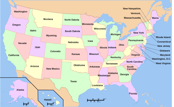
| + | To see a listing of coal mines in a particular state, click on the map: | ||
| + | |||
| + | {{USA imagemap state names existing coal mines}} | ||
| + | |||
== References == | == References == | ||
Latest revision as of 16:27, 4 September 2012
{{#Badges: CoalSwarm}}The Jones Fork Complex is an underground coal mining operation in eastern Kentucky owned by CONSOL Energy.[1] In June 2009, CONSOL announced that it planned to idle coal production at Jones Complex by July 1, 2009, while restarting its Buchanan Mine 1 near Mavisdale, Virginia, by mid-July 2009.[2]
Mine Data
- Owner: CONSOL of Kentucky Inc.
- Parent company: CONSOL Energy
- Location: Mousie, Kentucky
- GPS coordinates: 37.434283,-82.88734
- Production: 2.5 million tons (2008)
- Type of coal: Bituminous
- Mine type: Underground/Surface
- Equipment: Continuous mining machines
- Number of employees:
- Recoverable reserves: 37.7 million tons
Articles and resources
Related SourceWatch articles
- U.S. coal politics
- Coal and jobs in the United States
- Coal phase-out
- Headquarters of U.S. coal mining companies
- Global list of coal mining companies and agencies
- Kentucky and coal
- Proposed coal mines
- Existing U.S. Coal Plants
- Coal
To see a listing of coal mines in a particular state, click on the map:

References
- ↑ "Map of Mines: Jones Fork Complex", CONSOL Energy website, November 2009.
- ↑ "CONSOL Energy Will Restart Buchanan Mine" Reuters Online, June 3, 2009
| This article is a stub. You can help by expanding it. |