Deerlick West Mine
| This article is part of the Global Coal Mine Tracker, a project of Global Energy Monitor and the Center for Media and Democracy. |
| Sub-articles: |
Deerlick West Mine is a proposed U.S. surface coal mine in Tuscaloosa County, Alabama, owned by Cahaba Resources, LLC.
Contents
Location
The below map shows the approximate location for the Deerlick West mine in Tuscaloosa County, AL.
Background
The proposed Deerlick West mining site straddles Lake Harris Road, an unpaved road. In August 2019, the Tuscaloosa County Commission approved a waiver for Cahaba Resources LLC mining company seeking to operate a surface coal mine off Lake Harris Road. State mining regulations require a buffer of 100 feet from the road’s right of way unless approval is received from the authority with jurisdiction over the road. The waiver would allow the mining company to operate its Deerlick West Mine with a 60-foot buffer from the Lake Harris Road right-of-way line.[1]
Cahaba Resources sought the waiver as part of their permit application to the Alabama Surface Mining Commission (ASMC), which was approved by the ASMC on October 30, 2019.[2] Cahaba is still in the process of acquiring a National Pollutant Discharge Elimination (NPDES) Permit for the site. The Alabama Department of Environmental Management (ADEM) is still reviewing public comments on the proposal gathered in July 2019 and will make a determination on the permit afterward.[1]
If the proposed NPDES Permit is approved, it would authorize discharges of treated drainage from Deerlick West Mine to Cypress Creek, Yellow Creek, and unnamed tributaries to Yellow Creek, all classified as Fish and Wildlife in the Black Warrior River Basin. Some proposed discharges would also occur upstream of Lake Harris, a state waterbody classified as Public Water Supply.[3]
Opposition
The City of Tuscaloosa, which is an adjacent landowner, is opposed to the project. It has concerns that the surface mine will affect the natural setting of the Lake Harris area, which has been earmarked for future development as an outdoor recreation attraction. The city is also concerned the mine may potentially affect water quality in the lake, which is one of the city’s reserve drinking water reservoirs.[1]
Project Details
- Sponsor: Cahaba Resources LLC
- Parent Company:
- Location: Tuscaloosa County, Alabama, United States
- GPS Coordinates: 33.276815, -87.455154 (approximate)
- Status Proposed
- Production Capacity:
- Total Resource:
- Mineable Reserves:
- Coal type:
- Mine Size: 357 acres[4]
- Mine Type: Surface
- Start Year:
- Source of Financing:
Articles and resources
Related SourceWatch articles
- Coal and jobs in the United States
- Coal phase-out
- Headquarters of U.S. coal mining companies
- Global list of coal mining companies and agencies
- Proposed coal mines
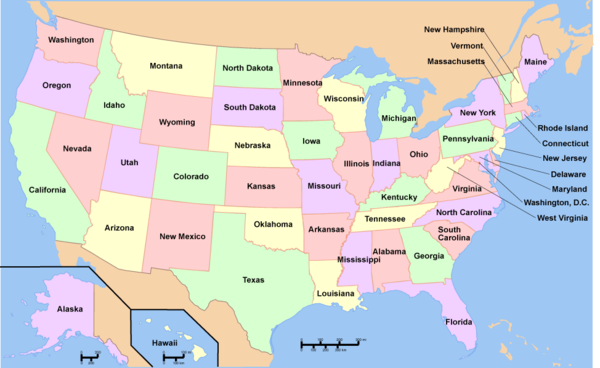
To see a listing of coal mines in a particular state, click on the map:
References
- ↑ 1.0 1.1 1.2 "Company seeks operation of mine off of Lake Harris Road" Tuscaloosanews.com, Aug. 10, 2019.
- ↑ Permit to Engage in Surface Mining Operations Alabama Surface Mining Commision, Oct. 30, 2019.
- ↑ Notice of Public Hearing for NPDES Permit Application and Request for Comments Alabama Department of Environmental Management, accessed November 2019.
- ↑ Permit to Engage in Surface Mining Operations Alabama Surface Mining Commision, Oct. 30, 2019.

