Eagle Pass Mine

From SourceWatch
Jump to navigation Jump to search

{{#Badges: CoalSwarm}} Eagle Pass Mine is an operating coal mine in Eagle Pass, Texas.

Location

The satellite photograph below shows the location of the mine in Eagle Pass, Maverick County, Texas.

Loading map...

Background

In July 2016 the Texas Commission on Environmental Quality’s three-member board voted to both renew and expand a wastewater permit for the mine.[1] The expansion would add 25,000 of potential area to the mine's existing 6,346 acres.[2] The mine's coal is too low-grade for use in the United States and is exported to Mexico.[1]

Project Details

  • Sponsor: Dos Republicas
  • Parent Company: North American Coal
  • Location: Eagle Pass, Maverick County, Texas
  • GPS Coordinates: 28.8166889, -100.4572962 (exact)
  • Status Operating
  • Production Capacity: 2.4 million tons per year
  • Total Resource:
  • Mineable Reserves:
  • Coal type:
  • Mine Size:
  • Mine Type:
  • Start Year: 2015
  • Number of employees:
  • Source of Financing:

Articles and resources

Related SourceWatch articles

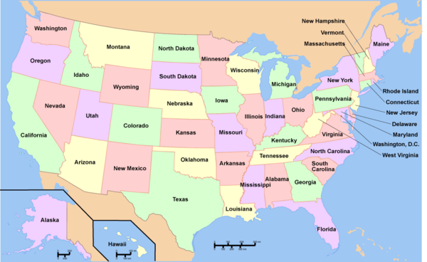
To see a listing of coal mines in a particular state, click on the map:

Category:Proposed coal plants in AlabamaCategory:Proposed coal plants in AlaskaCategory:Proposed coal plants in ArizonaCategory:Proposed coal plants in ArkansasCategory:Proposed coal plants in CaliforniaCategory:Proposed coal plants in ColoradoCategory:Proposed coal plants in ConnecticutCategory:Proposed coal plants in DelawareCategory:Proposed coal plants in FloridaCategory:Proposed coal plants in GeorgiaCategory:Proposed coal plants in HawaiiCategory:Proposed coal plants in IdahoCategory:Proposed coal plants in IllinoisCategory:Proposed coal plants in IndianaCategory:Proposed coal plants in IowaCategory:Proposed coal plants in KansasCategory:Proposed coal plants in KentuckyCategory:Proposed coal plants in LouisianaCategory:Proposed coal plants in MaineCategory:Proposed coal plants in MarylandCategory:Proposed coal plants in MassachusettsCategory:Proposed coal plants in MichiganCategory:Proposed coal plants in MinnesotaCategory:Proposed coal plants in MississippiCategory:Proposed coal plants in MissouriCategory:Proposed coal plants in MontanaCategory:Proposed coal plants in NebraskaCategory:Proposed coal plants in NevadaCategory:Proposed coal plants in New HampshireCategory:Proposed coal plants in New JerseyCategory:Proposed coal plants in New MexicoCategory:Proposed coal plants in New YorkCategory:Proposed coal plants in North CarolinaCategory:Proposed coal plants in North DakotaCategory:Proposed coal plants in OhioCategory:Proposed coal plants in OklahomaCategory:Proposed coal plants in OregonCategory:Proposed coal plants in PennsylvaniaCategory:Proposed coal plants in Rhode IslandCategory:Proposed coal plants in South CarolinaCategory:Proposed coal plants in South DakotaCategory:Proposed coal plants in TennesseeCategory:Proposed coal plants in TexasCategory:Proposed coal plants in UtahCategory:Proposed coal plants in VermontCategory:Proposed coal plants in VirginiaCategory:Proposed coal plants in Washington StateCategory:Proposed coal plants in West VirginiaCategory:Proposed coal plants in WisconsinCategory:Proposed coal plants in WyomingCategory:Proposed coal plants in DelawareCategory:Proposed coal plants in MarylandCategory:Proposed coal plants in New HampshireCategory:Proposed coal plants in New JerseyCategory:Proposed coal plants in MassachusettsCategory:Proposed coal plants in ConnecticutCategory:Proposed coal plants in West VirginiaCategory:Proposed coal plants in VermontCategory:Proposed coal plants in Rhode IslandMap of USA with state names.png
About this image

References