Youngs Creek mine
| This article is part of the Global Coal Mine Tracker, a project of Global Energy Monitor and the Center for Media and Democracy. |
| Sub-articles: |
Youngs Creek Mine is a proposed U.S. coal mine in Wyoming that sits along the Wyoming-Montana border. The mine originally began operations in 1976, but closed sometime between the 1980s and early 1990s. It was acquired by Cloud Peak Energy in 2012.
Contents
Location
The map below shows the approximate location of the Youngs Creek Mine near Sheridan, Wyoming.
Background
Youngs Creek mine is an undeveloped mine 13 miles north of Sheridan, Wyoming. The site was first permitted to mine coal in 1976 before the Surface Mining Control and Reclamation Act of 1977 existed, and before Wyoming had taken over the permitting and regulation of coal mining. Mining was suspended at Youngs Creek between 1980 and 1993. Reclamation for the original operations was finished in 1996.[1]
Cloud Peak Energy acquired Youngs Creek Mine in 2012 for $300 million. Youngs Creek contained approximately 450 million tons of in-place coal at the time Cloud Peak purchased it. The acquisition also included 38,800 acres and extended the border with Cloud Peak’s Spring Creek Mine, 7 miles to the north.[2]
Cloud Peak’s application with the Army Corps of Engineers shows mining development at Youngs Creek will impact two nearby waterways starting in 2020, and continued operations would affect two streams between 2020 and 2046, with cleanup and reclamation scheduled for 2051. The project would also impact 20 acres of wetlands, more than 11,000 feet of stream, and would temporarily divert a stream.[1]
Since acquiring the mine, Cloud Peak has performed exploratory drilling, conducted boundary revisions, and updated its permits, but has not yet extracted coal.[1] A project timeline has not yet been announced.[2]
Project Details
- Sponsor:
- Parent Company: Cloud Peak Energy
- Location: Sheridan, Wyoming, United States
- GPS Coordinates: 44.9947173, -106.9785339 (approximate)
- Status: Proposed
- Production Capacity: 1 million tons per year (proposed)[3]
- Total Resource: 450 million tons
- Mineable Reserves:
- Coal type:
- Mine Size: 38,800 acres
- Mine Type: Surface
- Start Year:
- Source of Financing:
Articles and resources
Related SourceWatch articles
- Coal and jobs in the United States
- Coal phase-out
- Headquarters of U.S. coal mining companies
- Global list of coal mining companies and agencies
- Proposed coal mines
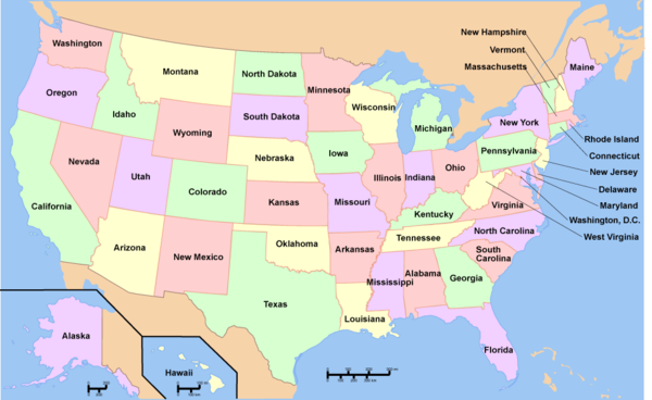
To see a listing of coal mines in a particular state, click on the map:
References
- ↑ 1.0 1.1 1.2 "An old Sheridan coal mine shows signs of life" The Casper Star-Tribune, Feb. 13, 2017.
- ↑ 2.0 2.1 "Permit revision approved for Youngs Creek mine" The Sheridan Press, March 30, 2018.
- ↑ "Long shuttered Wyoming coal mine could produce by next year" The Casper Star-Tribune, May 11, 2018.

